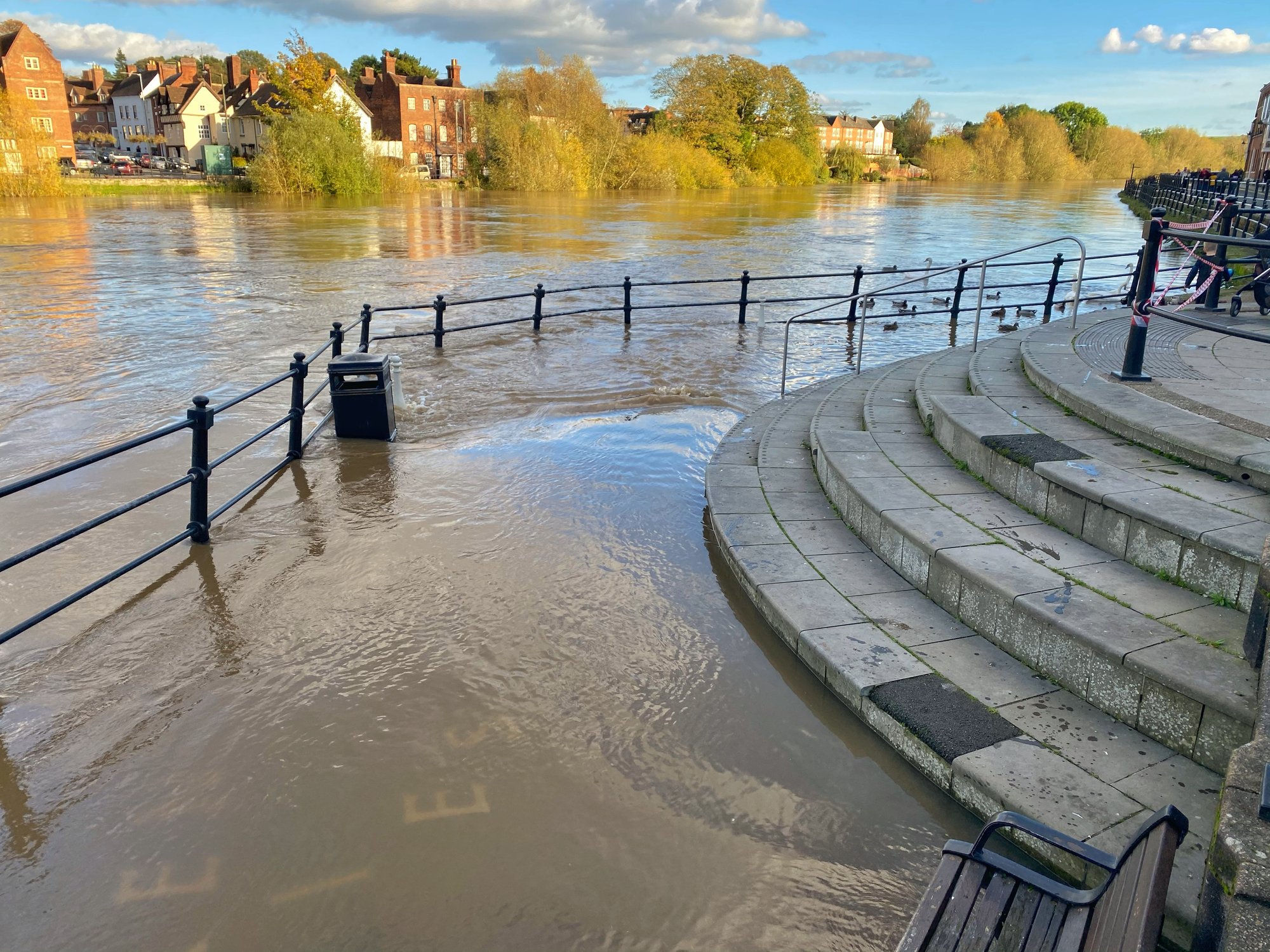
Predicting, preventing and mitigating floods
Our research to understand these effects and the role of nature-based solutions is essential for future proofing development – particularly with the threat of increased storm rainfall under climate change.
We have the expertise and tools to help to predict, prevent and mitigate floods in an urban environment, with work in the UK, Europe and globally.
UKCEH’s expertise in monitoring and modelling hydrological processes is being applied to natural flood management to understand the effectiveness of both existing and planned interventions in urban areas. We are able to help you to apply this knowledge to assess and optimise the potential impact of interventions.
Our scientists have carried out detailed and long-term monitoring of urban rainfall, river flows and water quality to understand how towns and cities are responding to urban development and storm rainfall. Working in areas such as Bracknell and Swindon with local stakeholders and water companies, we have provided data on urban impacts, to help identify how to apply nature-based solutions for flood mitigation.
Our flood estimation expertise, the result of many years of hydrological monitoring, modelling and analysis, has been a primary focus of UKCEH and its predecessor organisations for more than 40 years. In the UK, our latest statistical rainfall model (FEH13) has been formally adopted by OFWAT as the standard method for assessing the severity of rainfall events.
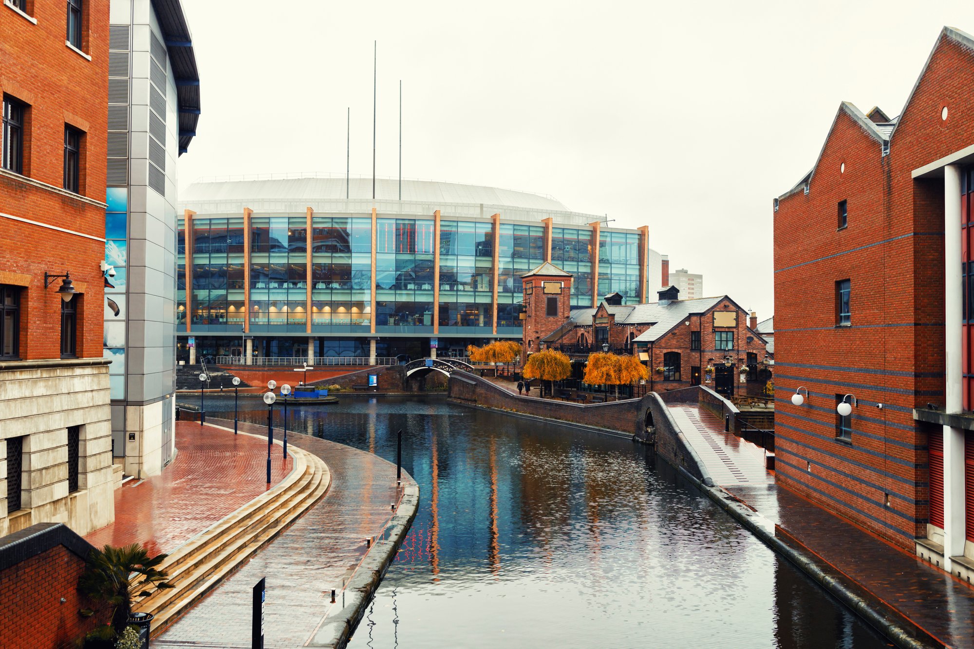
UKCEH scientists have developed an ecosystem service model to measure the effects of nature-based solutions (NBS) on flood hydrology, based on the widely used Rational Method and modified to represent flow accumulation along a hydrological network and flood attenuation through water bodies. The validated ‘Adapted Nature-based-solutions Rational Method’ (ANaRM) model provides realistic flood peak flow estimates at a high spatial resolution across and within urban catchments.
We used ANaRM in the city of Birmingham, UK, to simulate the hydrological effects of land use change from impervious to greenspace, and installation of SuDS and ponds. The method can be used to inform urban planning as well as to estimate the impact of NBS already in place in urban environments. The model has also been applied in Aarhus in Denmark, and in Paris. The ANaRM model is written in the R programming language and available from UKCEH’s GitHub.
UKCEH state-of-the-art hydrological models and tools are used for real-time flood modelling and forecasting from hours to seasons ahead, at national and local scales. We work collaboratively with stakeholders to create new services and solutions such as real-time flood risk and impact forecasts.
The Flood Forecasting Centre (England and Wales) and Scottish Flood Forecasting Service use our models to inform the Flood Guidance Statements they provide to the emergency response community. Our models support the flood warnings sent to the public and businesses by the Environment Agency (EA), Natural Resources Wales (NRW) and Scottish Environment Protection Agency (SEPA).
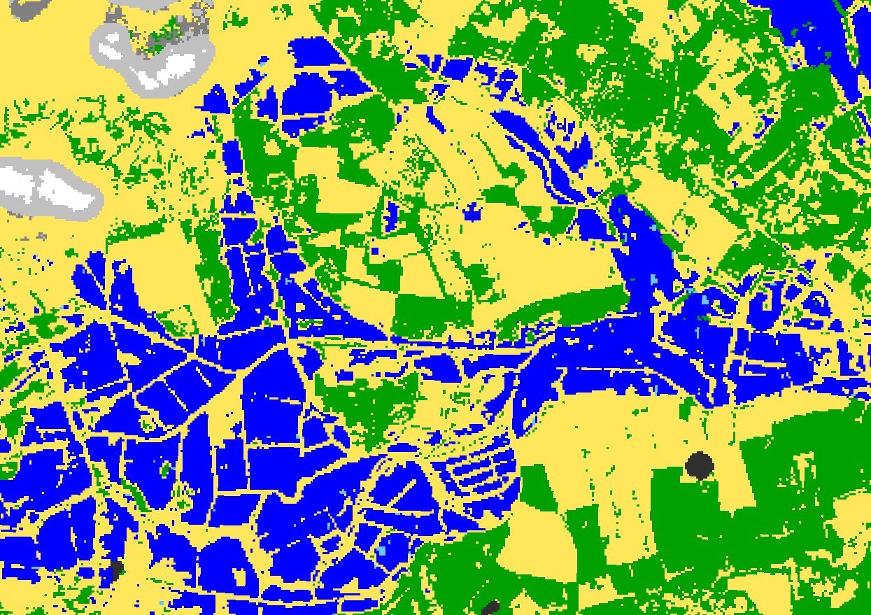
We also develop urban mapping products to represent urban vegetation and land cover for use in hydrological models and ecosystem service assessments.
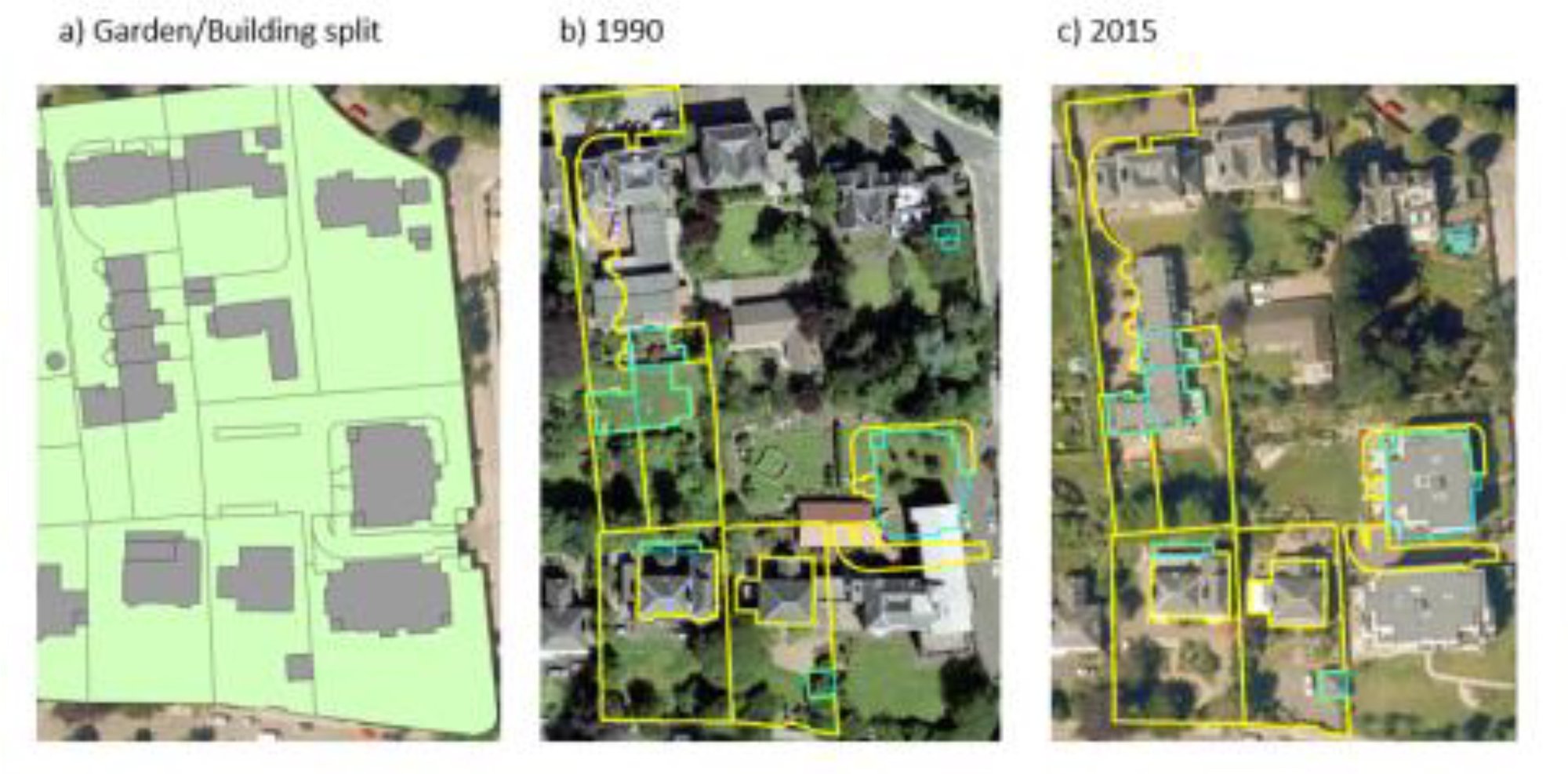
Urban creep describes the conversion of gardens and other vegetated areas (which help to soak up rain) into built-up surfaces which are impervious. It is an important risk factor for surface water flooding.
We developed a method to map urban creep and applied it to aerial photography for Edinburgh for 1990, 2005 and 2015. This allowed the first city-wide estimates of urban creep to be produced for Scotland, supporting better understanding of the surface water flood risk. We found that in Edinburgh, an area the size of nine football pitches is being lost to urban creep each year, putting extra pressure on drainage. This supports the need for future flood management planning.
Photo credit | Lorem Ipsum dolor sit amet
UKCEH has generated a wide diversity of urban datasets that support flood risk assessment and future flood mitigation planning – both in the UK and internationally. Working collaboratively with partners to collect long-term and high-resolution data enables important data that underpins urban models and tools used by industry and stakeholders.
These include:
High-resolution urban hydrology data from Thames catchments used to develop UK models.
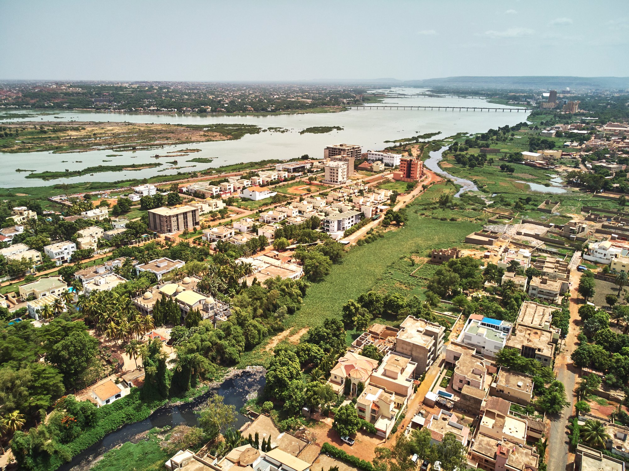
Urban hydro-meteorological observation data from Burkina Faso co-developed with regional partners.
Detailed land cover mapping of Malaysia used to assess flood risk across scales.
Application of models to assess the NBS contribution to reducing flood risk in Denmark, France and Croatia.