What can the new Digital Research Infrastructure offer?
The new FDRI Digital Research Infrastructure is designed to handle a wide range of data types from a variety of sensors and sources.
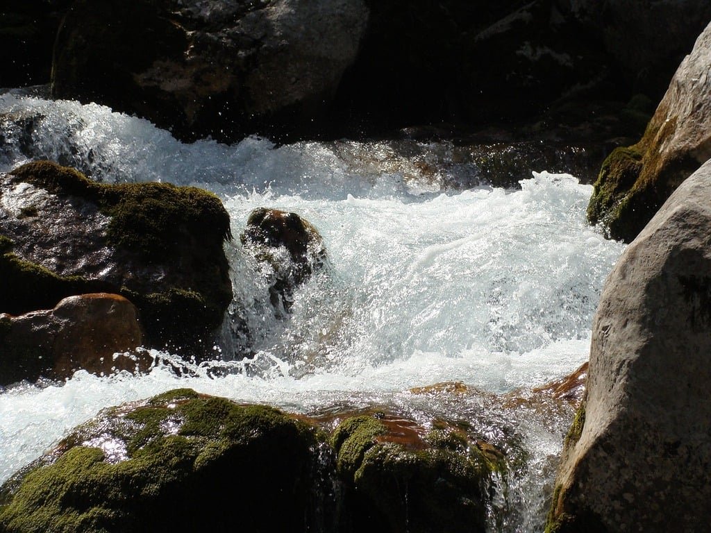
Access real-time data from remote sensors, updated as often as every 15 mins.
Explore high-resolution geospatial data with up to 1m² detail across the UK.
Gain detailed insights from gridded datasets, including rainfall and elevation data.
Automatically monitor water levels, floodplains, and land cover with image-based data.
Insights from a range of sensors (e.g. LiDAR, infra-red, thermal) mounted on unmanned aerial vehicles (UAVs).
Read on for examples →
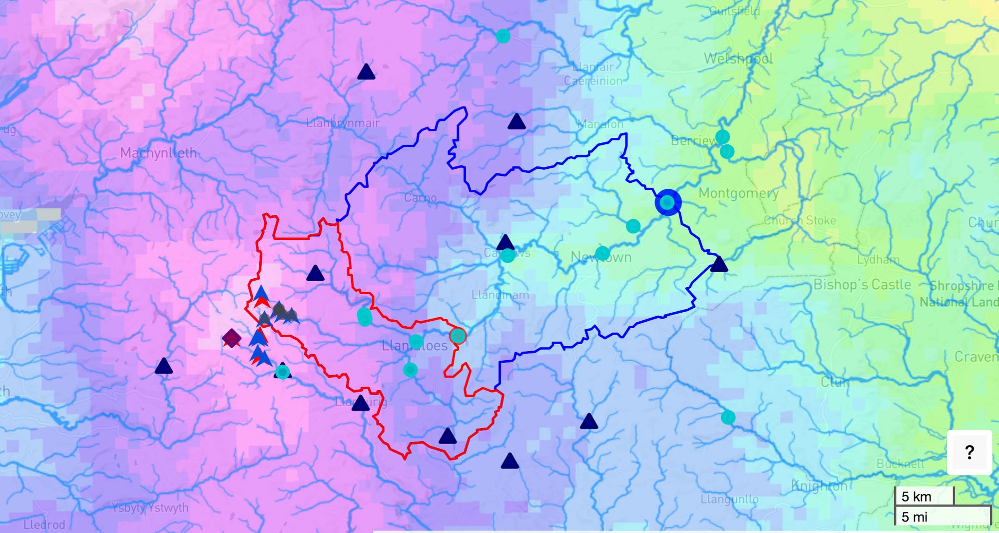
Collections of data within FDRI catchments, as well as at the national scale, to enhance understanding of floods and droughts, from water companies, citizen scientists and other research monitoring activities
A quality controlled and updated dataset of 15-minute river levels and flows from measuring agencies across the UK, and an hourly CAMELS-GB data cube
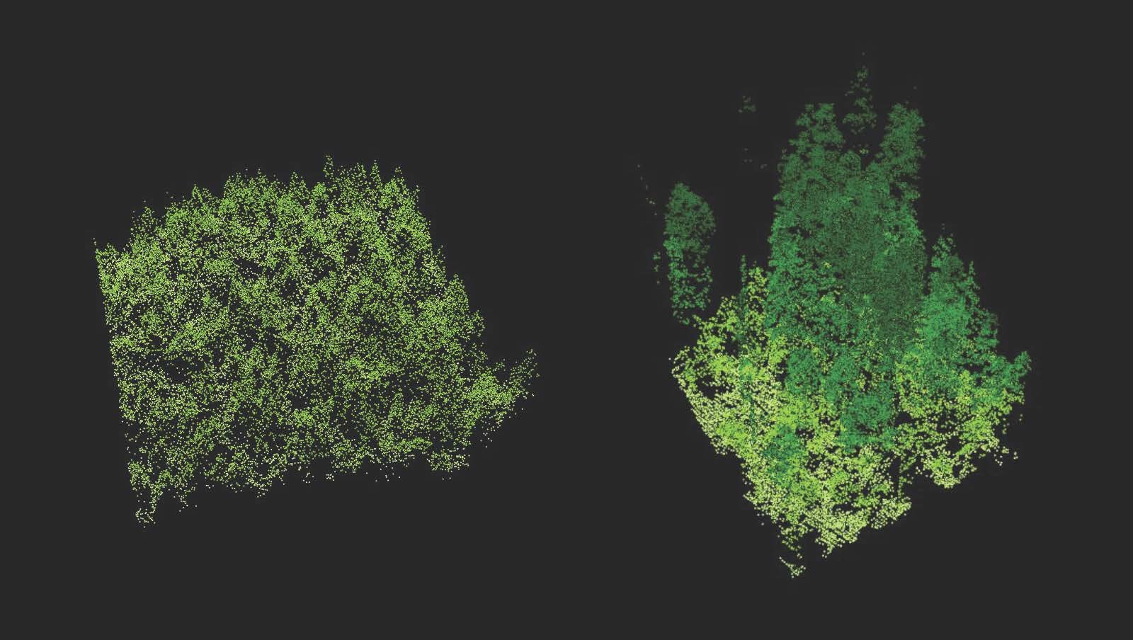
An accessible combined dataset for England and Wales of 1m height data from LiDAR data. Includes web-based tools for processing this for hydrological analysis.